On a Hong Kong project, the first thing you usually need is a site model
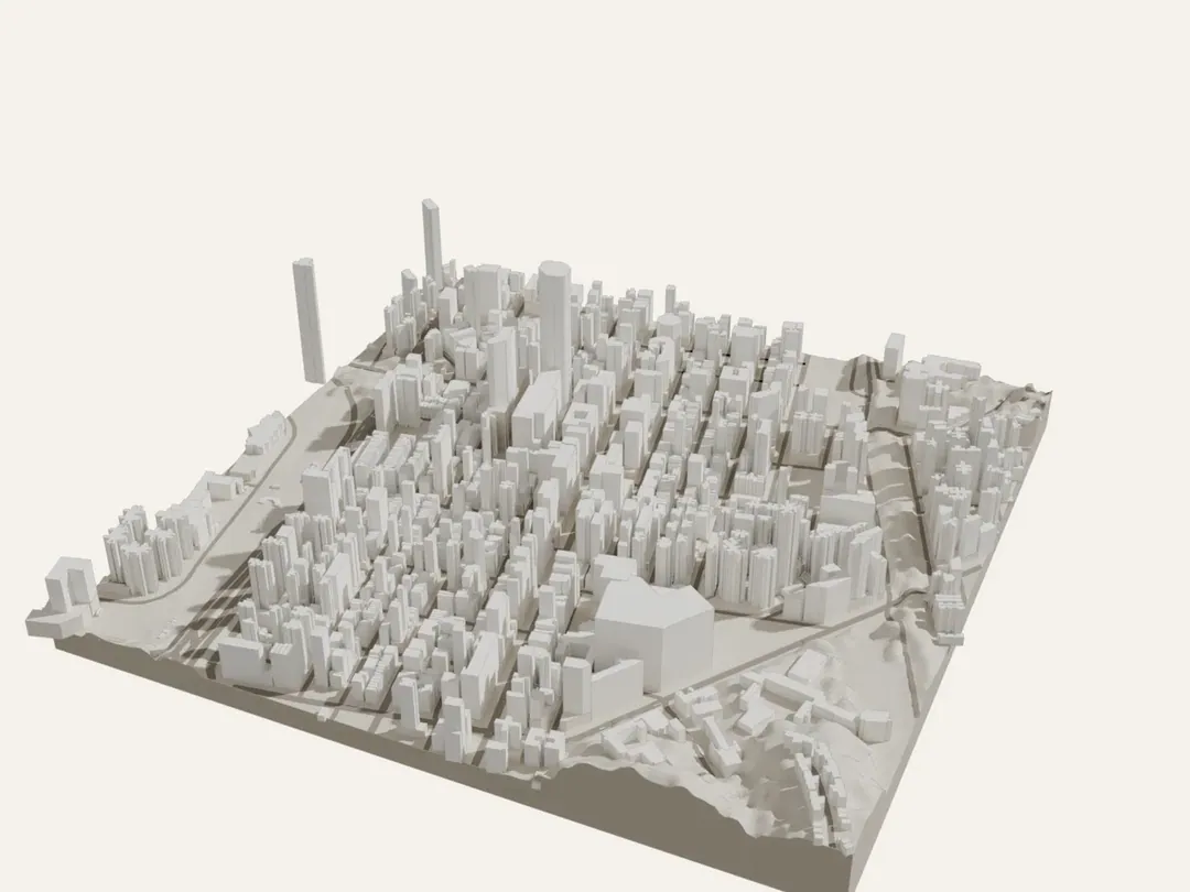
🗺️ On a Hong Kong project, the first thing you usually need is a site model. I built a free tool: pick a square on a map and download a 3D site model of it in under a minute.
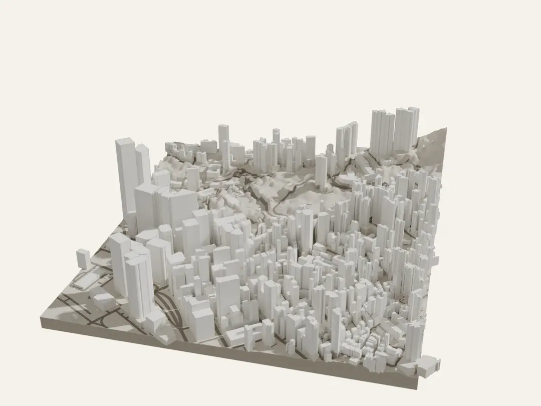
HK Site Model (new on anzonwong.com Lab):
・Pick a 250 m, 500 m or 1 km square
・Terrain + every building as massing (real mPD heights, towers and podiums on separate layers) + roads
・Download DXF (true HK1980 coordinates, lands in the right place in Revit or AutoCAD), plus OBJ and GLB for SketchUp and Rhino
How it works, all from government open data:
1. Terrain: the Lands Department's 5 m terrain model for all of Hong Kong. I pre-cut it into 1,604 one-kilometre tiles, so the page only loads the few under your square
2. Buildings: when you click, the page asks the government's CSDI portal directly which buildings are in the square, each with base and top heights in mPD and storeys. Where a height is missing, it is estimated from storeys and listed in the README
3. Roads: Lands Department road centrelines, fetched the same way and draped on the terrain
4. Everything is built and zipped in your own browser. Nothing is uploaded, and the site needs no server, so it costs nothing to run
Where a height is missing, it is estimated from storeys and listed in the README 3.
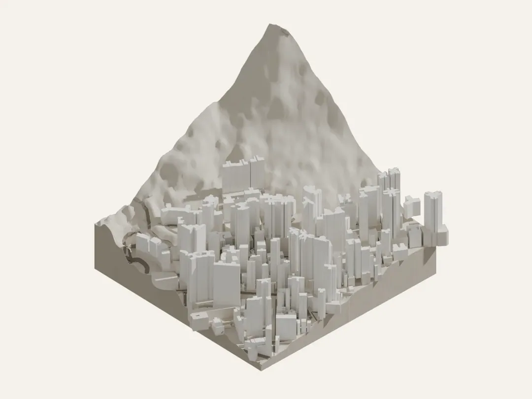
Test: Mid-Levels 500 m square, 306 buildings, tallest 267.5 mPD, built in 2 seconds, 1.3 MB zip.
Honest caveats: massing only, not a survey, not for statutory submissions; terrain is accurate to about plus or minus 5 m, and flyovers and tree canopy put bumps in it; I haven't opened every file in real AutoCAD, Revit and SketchUp yet.
Data: Lands Department, The Government of the Hong Kong SAR, via CSDI Portal and DATA.GOV.HK.
Link: https://anzonwong.com/lab/hk-site-model/
What else would you want in a Hong Kong site model? Tell me what you think in the comments 👇