HK Site Model
Pick a square anywhere in Hong Kong and download a 3D massing model of it: terrain, buildings at their recorded heights in mPD, and roads, from official Lands Department data. DXF in HK1980 Grid for CAD and Revit, OBJ and GLB for SketchUp, Rhino and Blender.
Centre
The 3D preview appears here. Drag to orbit, scroll or pinch to zoom.
Data: Lands Department, The Government of the Hong Kong SAR, via CSDI Portal and DATA.GOV.HK. Massing only: not for survey or statutory use.
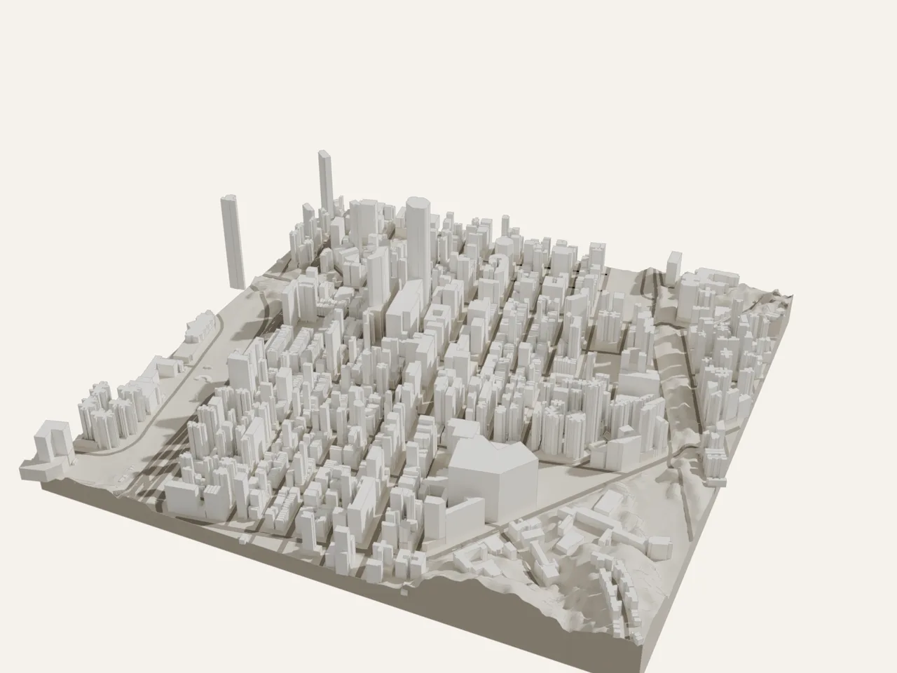
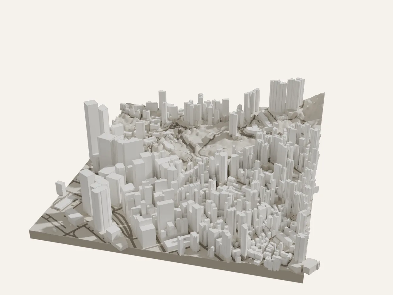
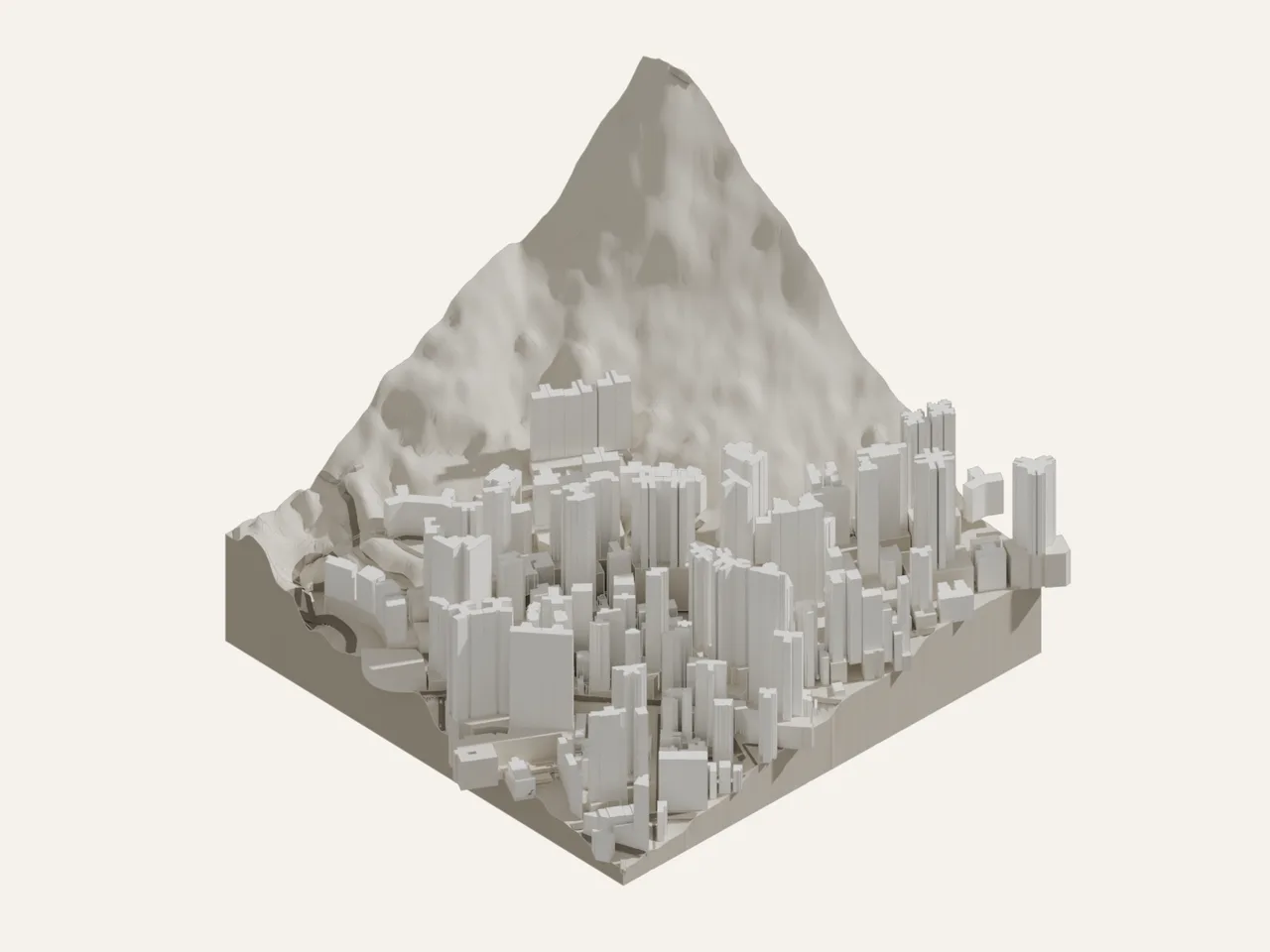
Rendered in Blender from the downloaded GLB files, with a card base added. The page's own preview shows the same model.
- Choose the size: 250 m, 500 m or 1 km.
- Click the map to place the square, then drag the square or its centre dot to adjust. You can also type coordinates (lat, lon or HK1980 E, N).
- Press Build model. The data loads live from the Government's servers, usually in a few seconds. Check the 3D preview.
- Press Download zip. Open site.dxf in CAD or Revit, or site.glb / site.obj in SketchUp, Rhino or Blender. origin.txt tells you where the model sits.
- site.dxfTrue HK1980 Grid coordinates, heights in mPD. Layers TERRAIN, BLDG_TOWER, BLDG_PODIUM, BLDG_OTHER, ROADS (3D centrelines), SITE_BOUNDARY and NOTES.
- site.glb · site.objLocal origin at the south-west corner of the square, 0 mPD, metres, Y up. One object per block, grouped by layer.
- origin.txtThe origin in HK1980 Grid and WGS84, and how the axes map.
- README.txtData sources and dates, the blocks whose heights were estimated, and the accuracy limits.
Buildings are prisms from each block's recorded base to its recorded top, split into towers and podiums as Lands Department records them. Where a block has no recorded height, it is estimated from its storeys and marked _EST in the files. Roof features, setbacks and basements are not modelled.
The terrain is the 5 m Digital Terrain Model, accurate to about plus or minus 5 m. It includes some elevated roads, bridges and tree canopy, so expect bumps under flyovers and over wooded slopes. Tunnels are left out of the roads.
Massing only. Not for survey, statutory or legal use. Check against a measured survey before relying on any dimension.
- BuildingsBuilding, Lands Department, via CSDI Portal (live)
- RoadsRoad Centreline, Lands Department, via CSDI Portal (live)
- Terrain5m Grid DTM, Lands Department, via DATA.GOV.HK (tiled 18 Oct 2026)
- MapMap information from Lands Department
Source: Lands Department, The Government of the Hong Kong SAR, via CSDI Portal (portal.csdi.gov.hk) and DATA.GOV.HK. Intellectual property rights in the data belong to the Government of the HKSAR. Derived model, provided as is; not for statutory or survey use.
Every zip repeats this notice in README.txt and in the DXF. A free hobby tool, not professional advice, and not affiliated with the Government.